Ensuring military forces have up-to-date information about a potentially hostile region offers obvious advantages, but current methods for doing that – especially along shorelines, where underwater mines and other hazards can pose serious risks – all have drawbacks. It is especially difficult if keeping the technology out of enemy hands is a priority.
Engineers from the University of Houston are addressing the challenge as part of a $1 million project led by Craig Glennie, associate professor of civil engineering and an investigator with the National Center for Airborne Laser Mapping, or NCALM.
The work is part of a larger effort, funded by Office of Naval Research and led by Northeastern University. Megan Robertson, UH associate professor of chemical and biomolecular engineering, and Aaron Becker, UH assistant professor of electrical and computer engineering, are working with Glennie on the project.
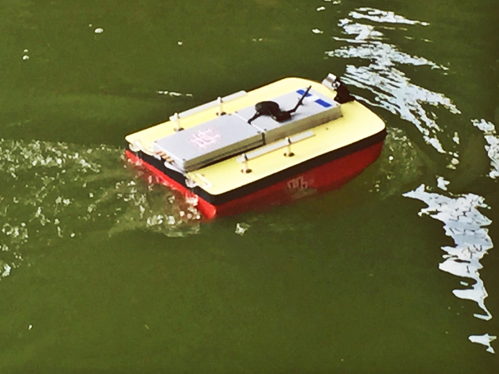
One phase involves the design of self-guided “packages,” small containers made of a biodegradable material and filled with sensors to map the coastline and sea bottom. Glennie said the goal is for the devices to be about the size of a water bottle and to dissolve upon reaching shore.
The sensors ultimately could have a number of applications, ranging from military and law enforcement to environmental monitoring.
“It’s kind of like ‘Mission Impossible,’ but slightly more discreet. We want them to quickly and quietly dissolve,” Becker said.
Another aspect involves developing a system to control a swarm of up to one million drones or other aerial reconnaissance vehicles in a way that appears to be unpredictable, thwarting an opponent’s ability to track and target them.
Early versions of the project will involve the use of cameras, sonar and sensors to measure temperature and pressure, said Glennie, whose work with NCALM involves mapping with unmanned aerial vehicles and using lasers for mapping through shallow water.
“We’ll experiment to see what works best,” he said, noting that ultimately the researchers want fully biodegradable versions of both the external support structure and the sensors.
To start with, they are experimenting with different materials. Robertson creates biodegradable plastics and other materials in her lab and will focus on determining the best material for the project, from the shell to the electronic components.
“We will investigate various chemical strategies for creating polymers that can quickly disappear under the right conditions,” Robertson said.
Becker, who works in swarm robotics and artificial intelligence, will focus on how to deploy the sensors, as well as leading the related project involving drone swarms.
Much current research is focused on drones flying in formation or schooling and flocking behavior. There are times when that makes sense, Becker said, but the predictability can leave the drones vulnerable to attack. He is developing a way to make the flight paths appear random – and therefore, less susceptible to attack – while still achieving the flight goals.
“We will exploit the computational and maneuverability resources of each drone to protect the swarm,” he said.