
Miscellaneous Projects
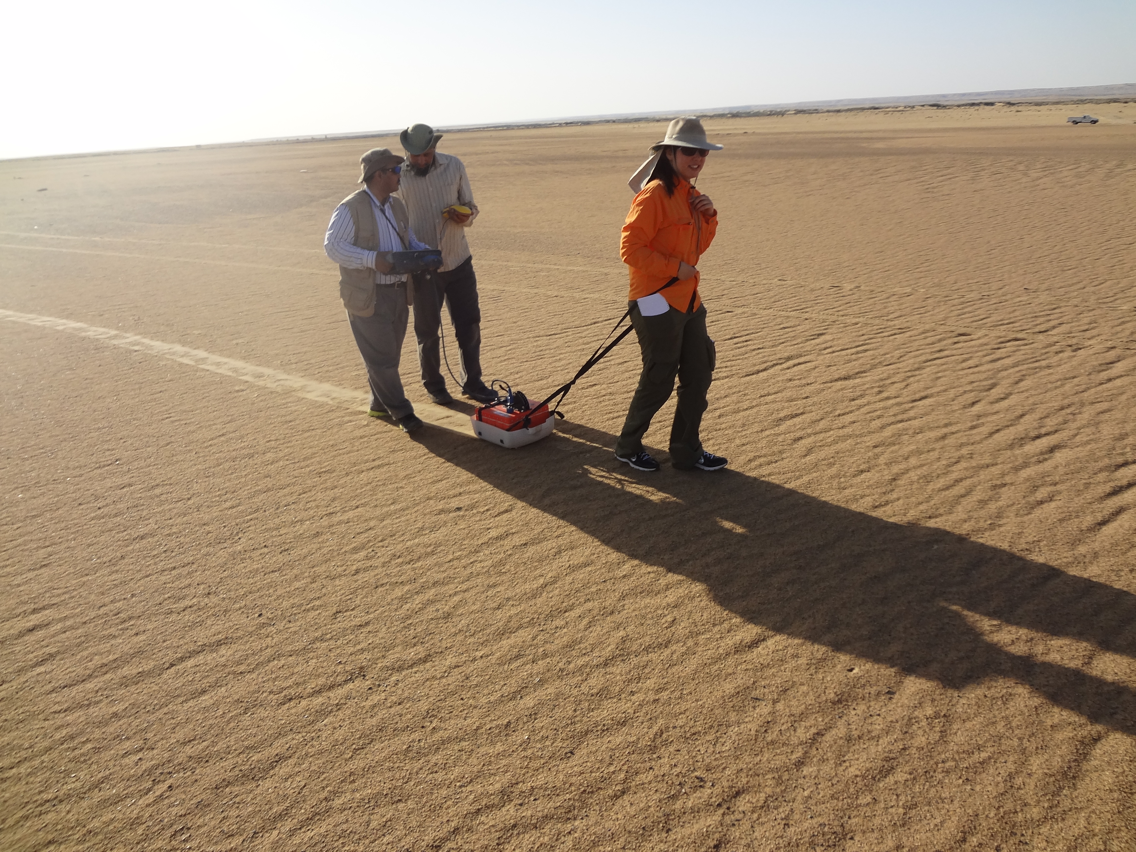
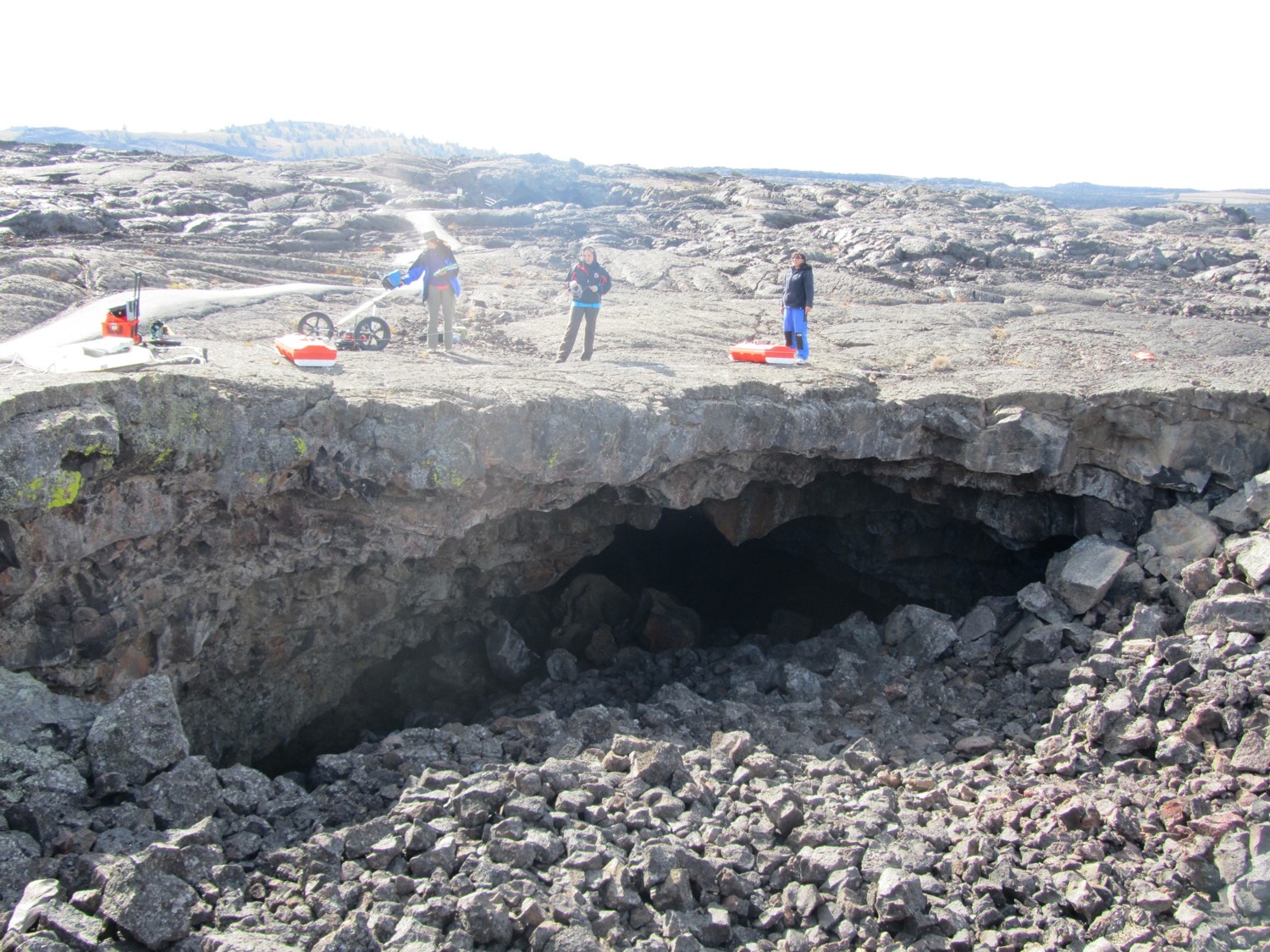
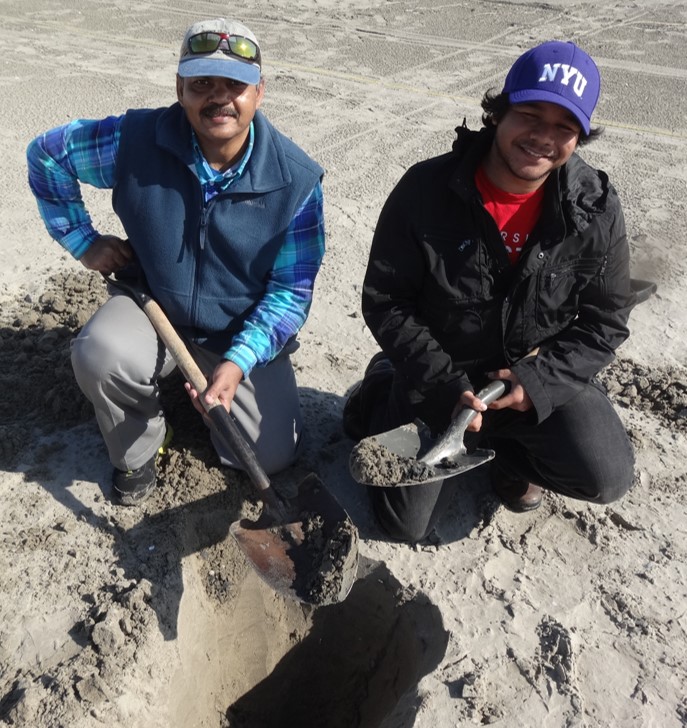
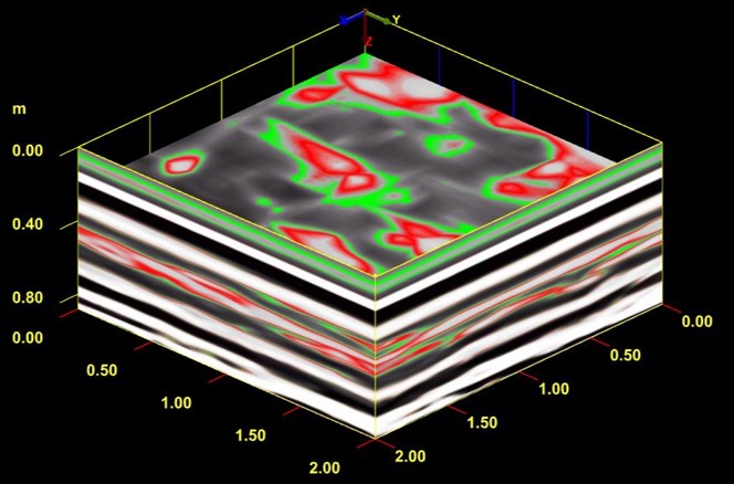
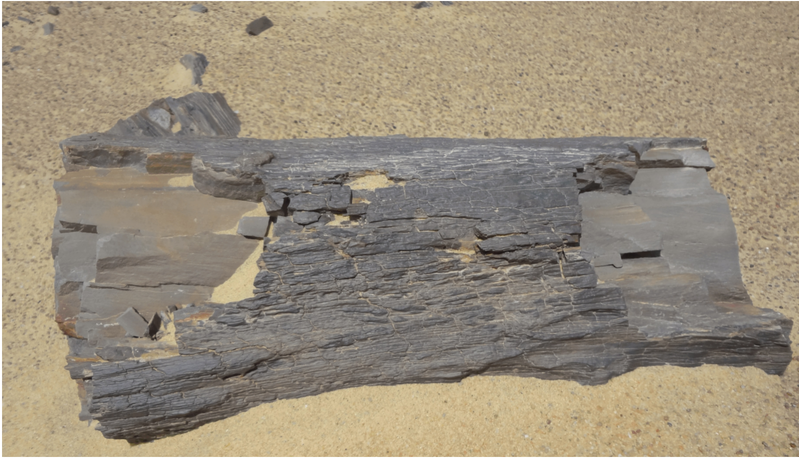
GeoRS group worked on several other projects integrating remote sensing and geophysical tools with other datasets. For example, we worked in the Sahara Desert and on the Caspian Sea to assess the role of climate impact versus tectonic influence on the dynamics of water systems. We imaged buried lavas and tarballs and studied diagenetic and rock alteration processes.
Publication
Haynie, K. L.,& Khan, S. D., 2016. Shallow subsurface detection of buried weathered hydrocarbons using GPR and EMI. Marine and Petroleum Geology 77, 116-123, https://doi.org/10.1016/j.marpetgeo.2016.06.006
Biber, K., Khan, S. D., Shah, M. T., 2015. The source and fate of mercury in Hunza River basin, Northern Areas, Pakistan. Hydrological Processes, 29, 579-587. https://doi.org/10.1002/hyp.10175
Khan, S. D., Abdel A. M., Fathy, M. S., 2014. Remote sensing and geophysical investigations of Mogra Lake in the Qattara Depression, Western Desert, Egypt. Geomorphology, 207, 10-22. https://doi.org/10.1016/j.geomorph.2013.10.023
Quintanar, J., Khan, S. D., Fathy, M. S., Zalat, A. A., 2014. Remote sensing, planform, and facies analysis of the Plain of Tineh, Egypt for the remains of the defunct Pelusiac River. Sedimentary Geology, 297, 16-30. https://doi.org/10.1016/j.sedgeo.2013.09.002
Ozyavas, A., Khan, S. D., Casey, J. F., 2010. A possible connection of Caspian Sea level fluctuations with meteorological factors and seismicity. Earth and Planetary Science Letters, 299, 150-158. https://doi.org/10.1016/j.epsl.2010.08.030