Undergraduate and graduate students who take courses like "Geospatial Analysis & Applications" and "Remote Sensing" taught by Dr. Shuhab Khan at the University of Houston are required to submit class projects. Undergraduate students work in groups while graduate students work on their projects individually. Their projects involve the application of the techniques learned during the course to solve real-life scientific problems. In addition to presenting these projects at the end of the semester, the students publish their projects on websites using different platforms.
Links to selected class project websites are provided below:
Remote Sensing
Using Landsat-8 data to track vegetation recovery after the Spring Creek fire in Colorado
Detecting Change in Ice Presence with Correlations to Climatic Variation in Svalbard, Norway
The Role of Urban Forest in Mitigating Urban Heat Island (UHI) Effect in Seoul, Korea
Using Landsat 8 to observe environmental variation after hurricane Florence
Identification and differentiation of crude oil by experimental spectroscopy
Remote Sensing of Volcanic and Vegetative Features of The Kilauea Volcano
Economic Minerals of the Khanneshin Carbonatite Complex, Afghanistan
Utilizing Remote Sensing Data to Analyze the Stromboli Volcanic Eruption
Spatiotemporal relationships between land-use change and temperature: Urban heat islands
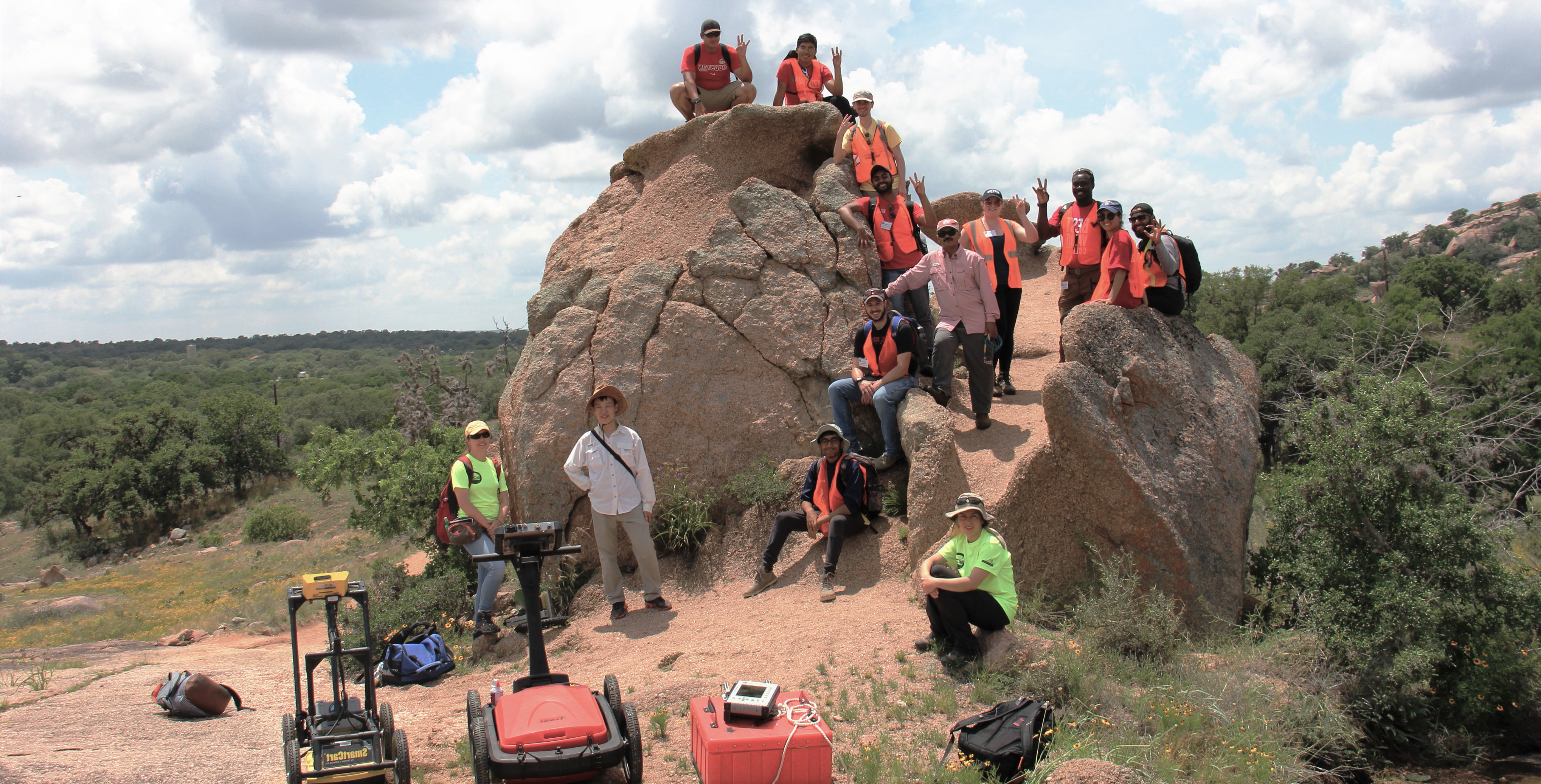
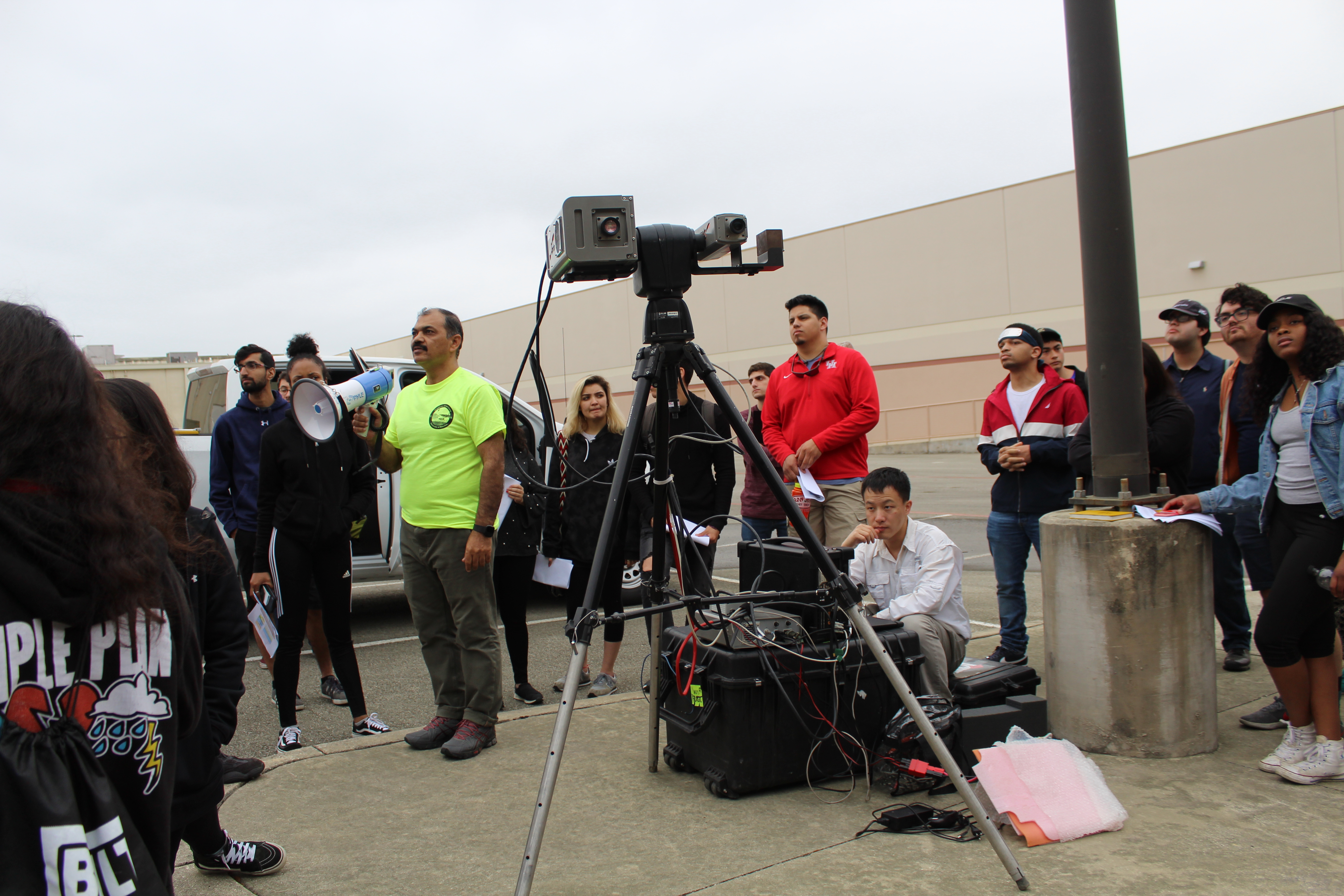
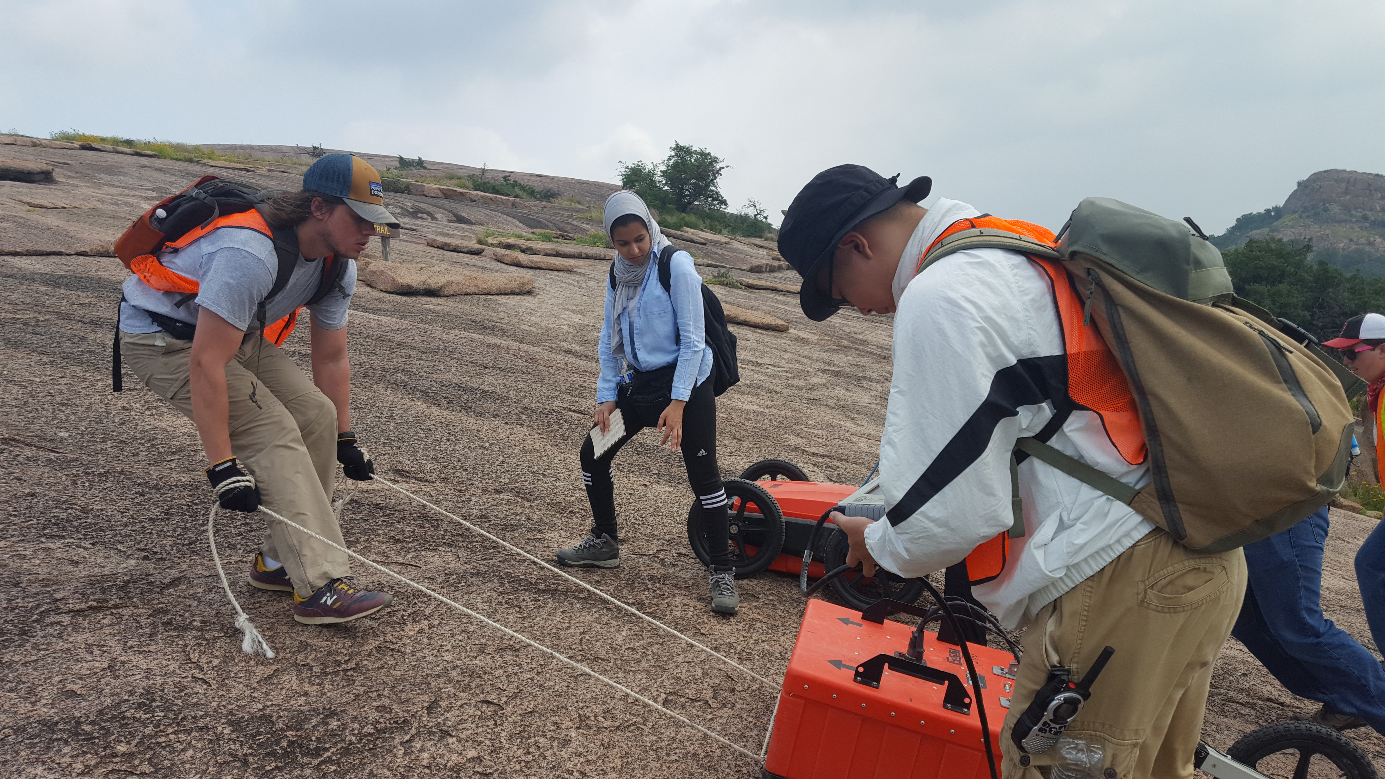
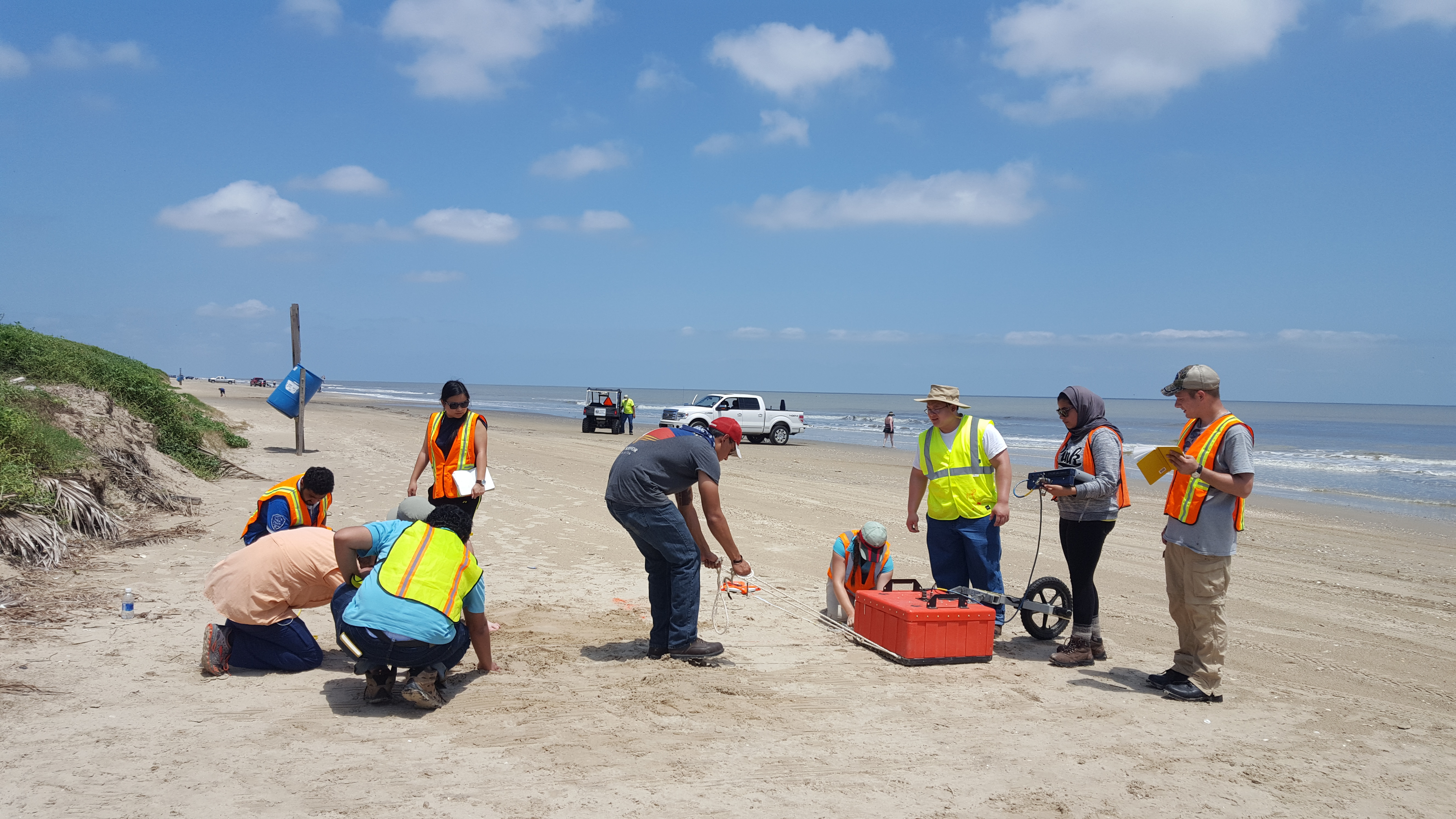
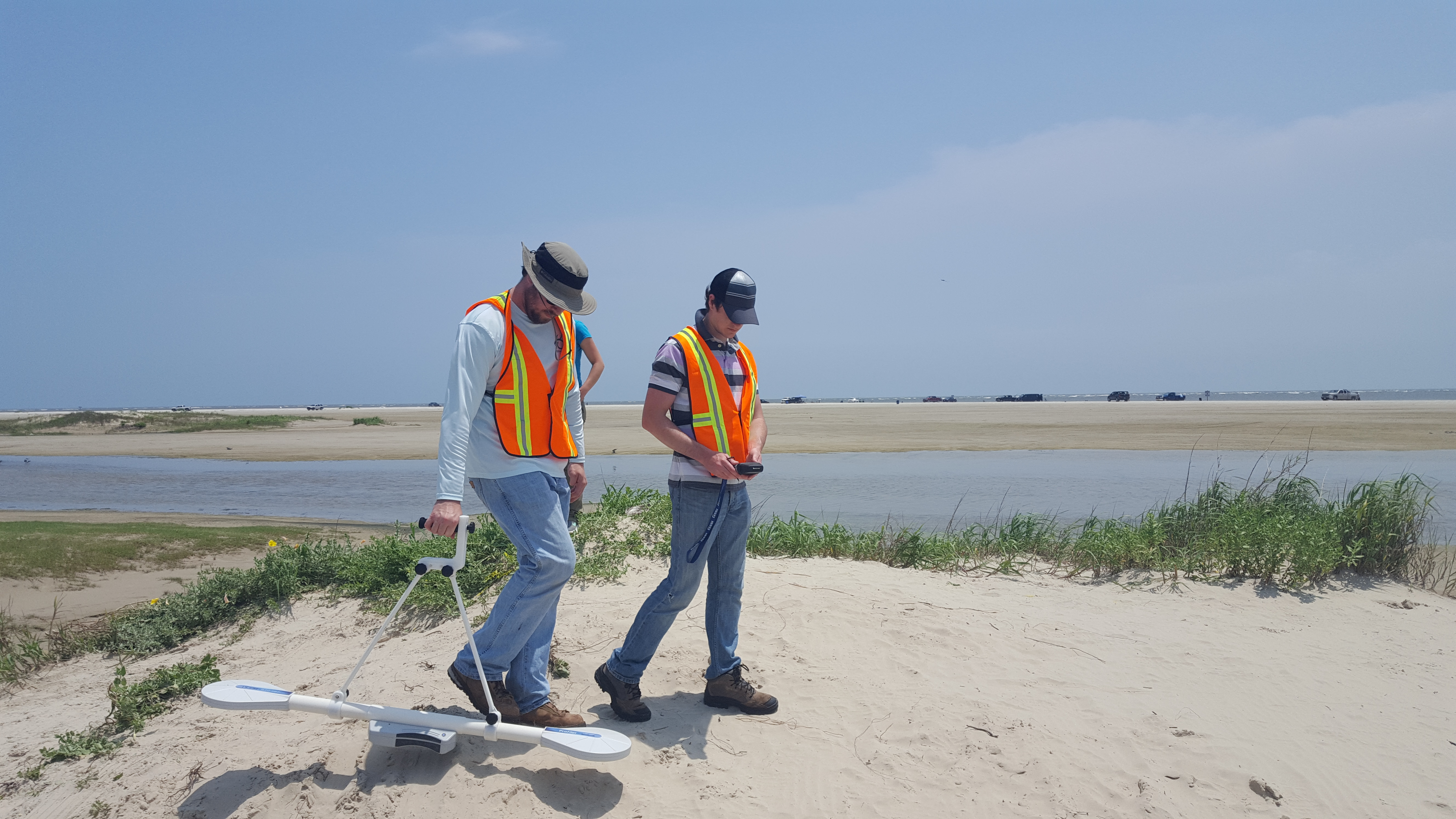
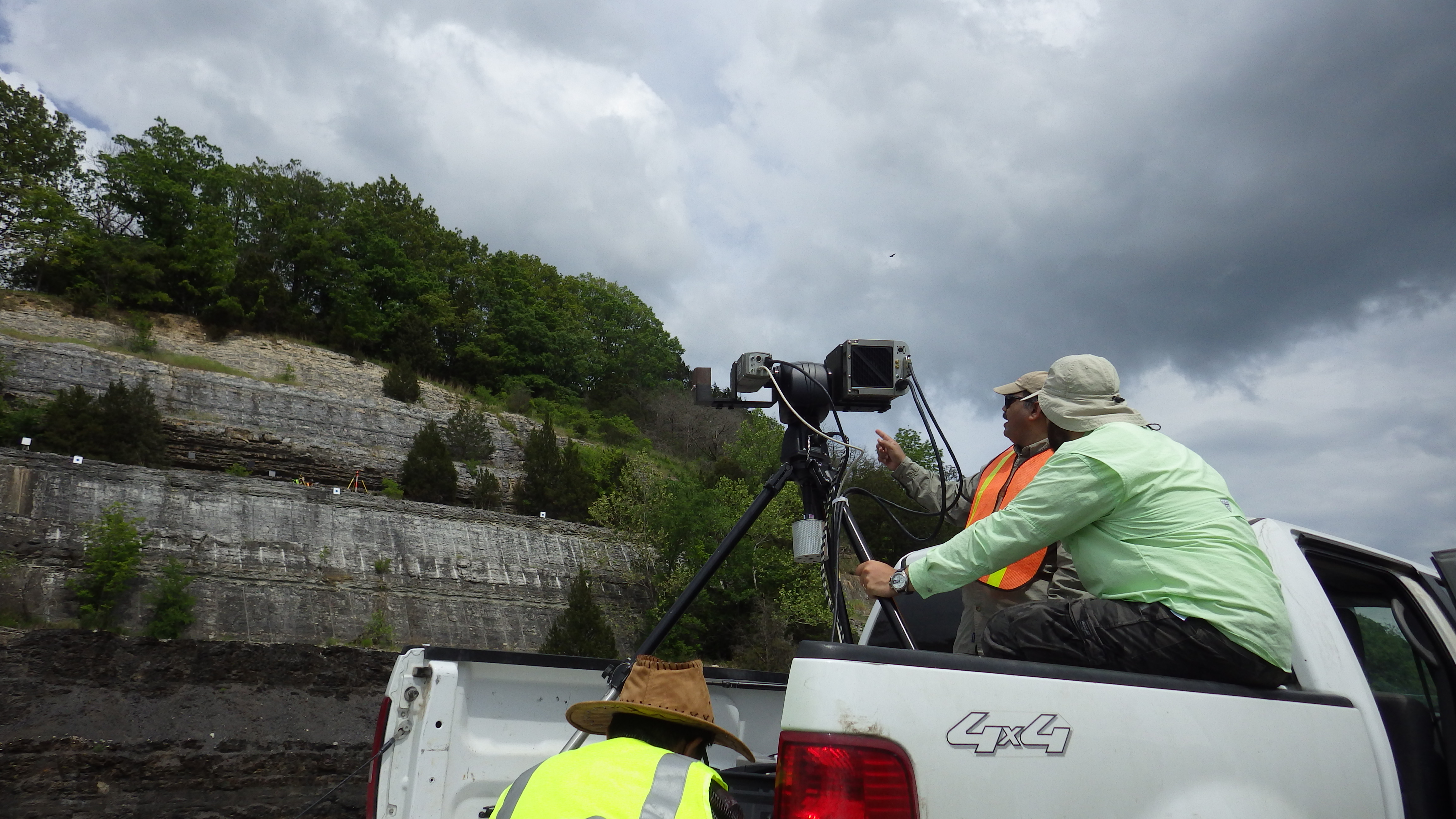
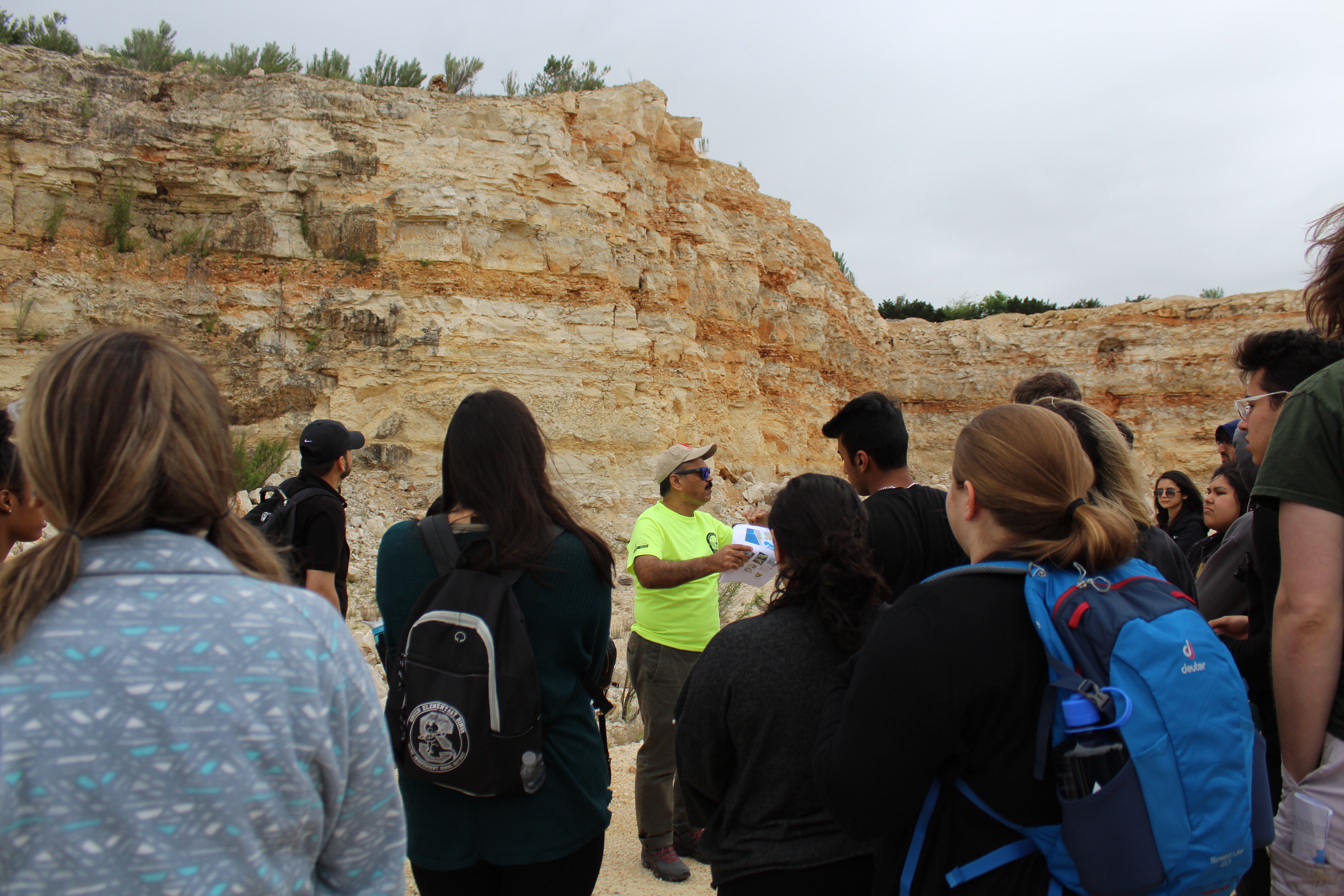
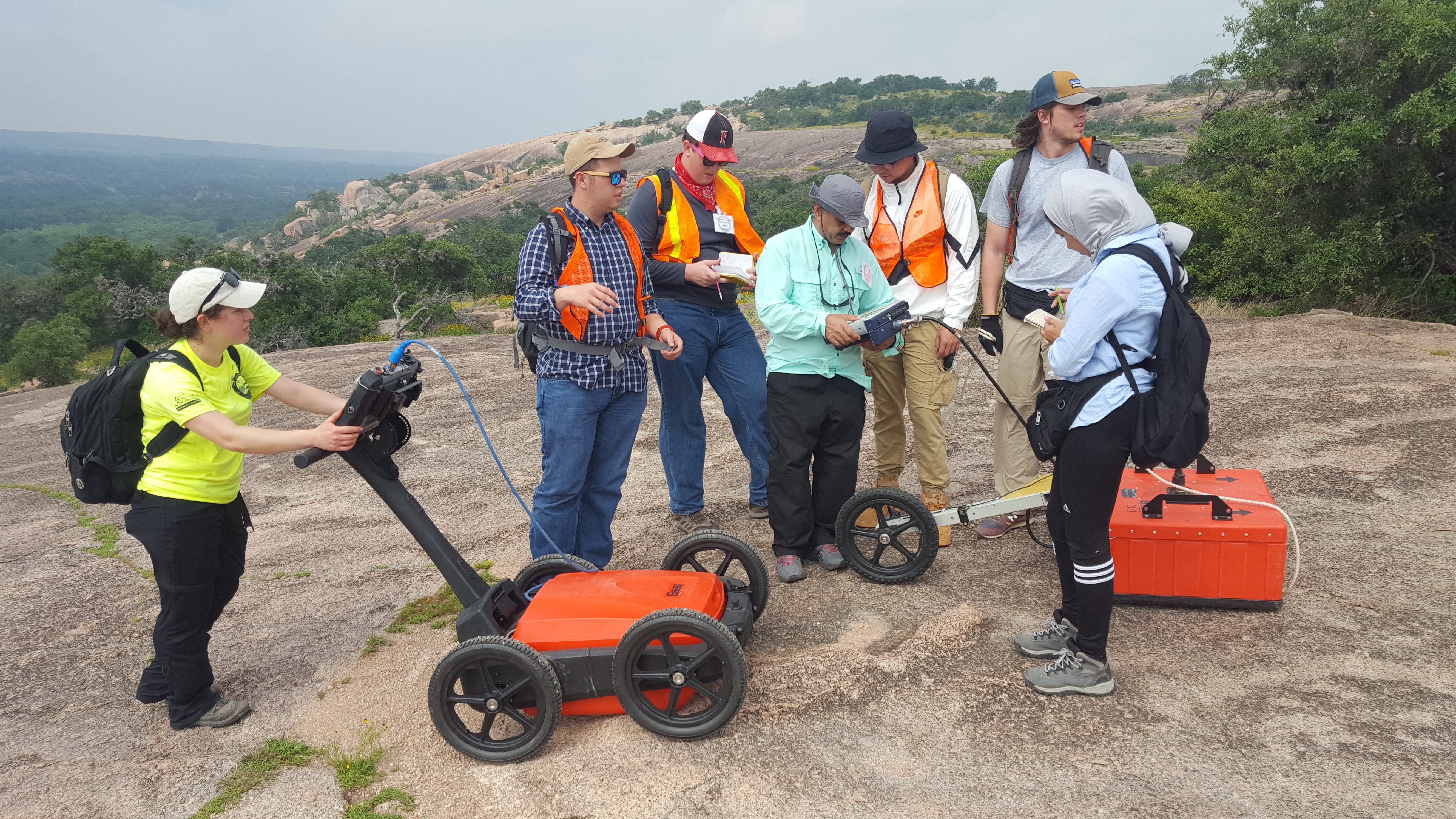
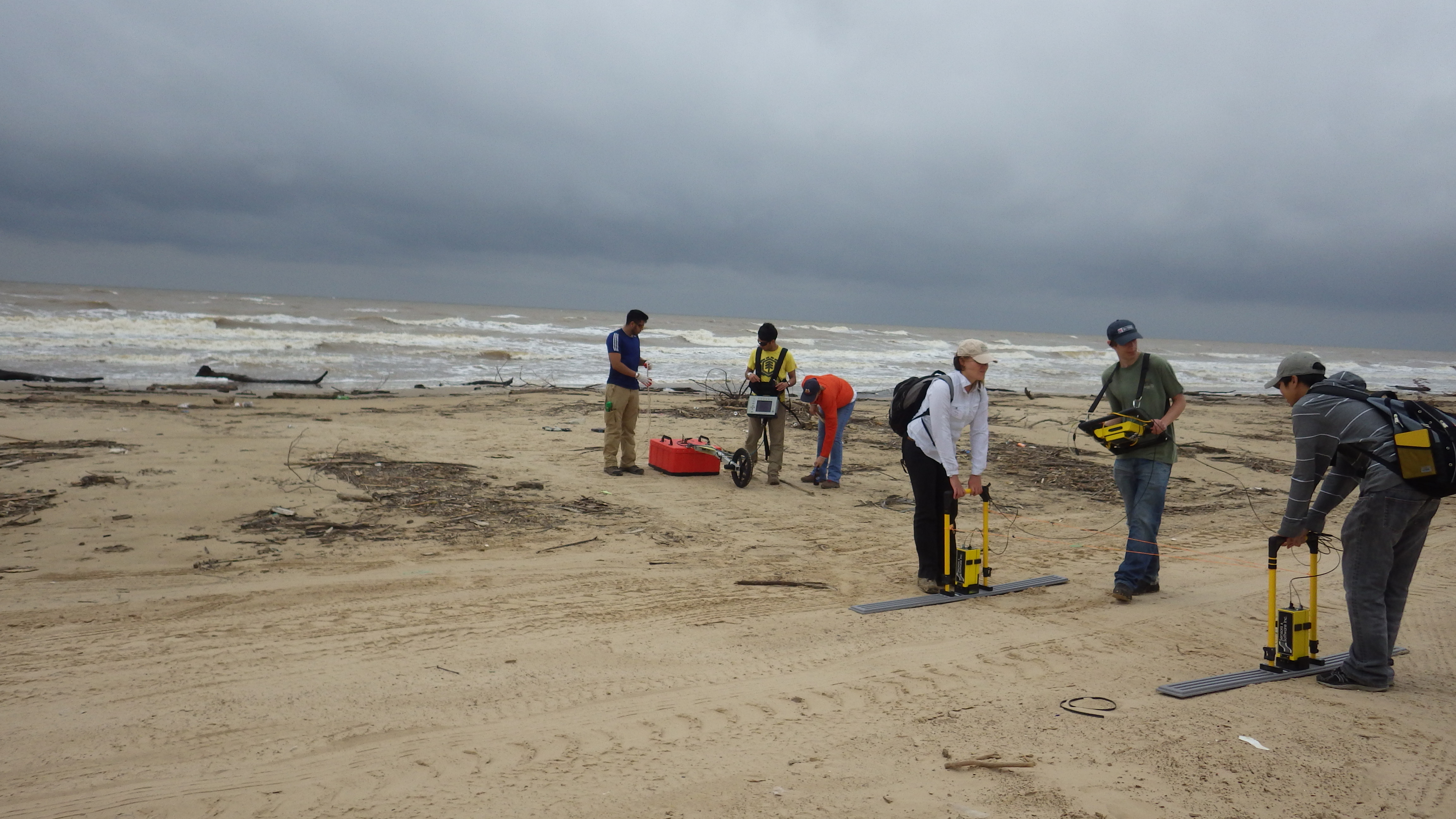
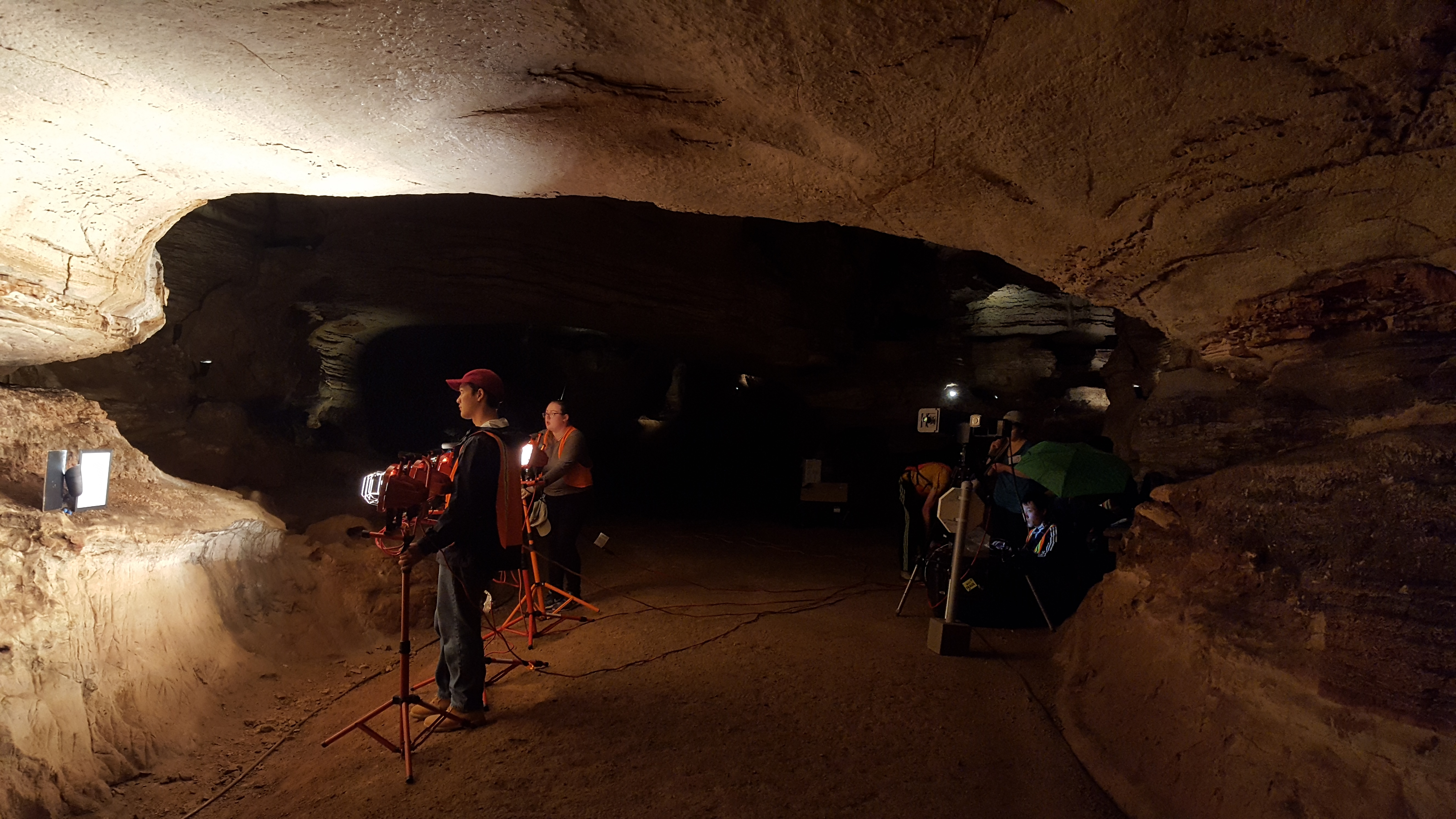
Students using remote sensing tools in the field