Eight Students Doing Fieldwork in China
Eight students—two graduate students and six undergraduate students—currently in China as part of the U.S.-China Collaboration on Landslide Research and Student Training summer program have moved into the fieldwork portion for their eight-week experience.
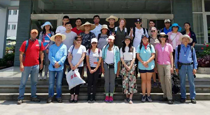 CUG Zigui Field Camp Group Photo: Front row on right is Dr. Hanwen Zhou, field instructor
of the U.S.-China Collaboration program. To the left of Dr. Zhou is Dr. Nancy Sung,
director of NSF Beijing office. The summer program is organized by the University of Houston and China University
of Geosciences (CUG). Five of the students are from UH: Eleanor Dietz, Julie Monluc,
Lynn Nguyen, Keyin Scott and Vasilios Tsibanos.
CUG Zigui Field Camp Group Photo: Front row on right is Dr. Hanwen Zhou, field instructor
of the U.S.-China Collaboration program. To the left of Dr. Zhou is Dr. Nancy Sung,
director of NSF Beijing office. The summer program is organized by the University of Houston and China University
of Geosciences (CUG). Five of the students are from UH: Eleanor Dietz, Julie Monluc,
Lynn Nguyen, Keyin Scott and Vasilios Tsibanos.
After two weeks of Chinese language and culture training at CUG’s main campus in Wuhan, the students traveled to CUG’s Geological Field Camp in Zigui City. The camp is located 10 km upstream from the Three Gorges Dam. Camp leaders are Dr. Hanwen Zhou from CUG and Dr. Guoquan Wang from UH’s Department of Earth and Atmospheric Sciences.
The U.S. students and a group of local students from CUG and Beijing University of Technology began investigating geology and tectonics within the Three Gorges Reservoir Area. The field investigation lasted one week (July 13-18).
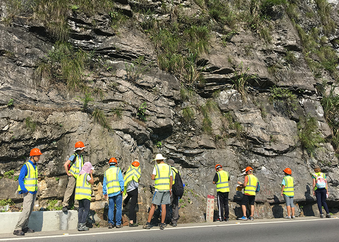 Students examining sedimentary rocks and faults in the Zigui region. The second on
left is Dr. Nancy Sung.Dr. Nancy Sung, the director of the U.S. National Science Fouindation’s Beijing Office joined the U.S. students in Zigui City to participate in field investigations on
July 17 and 18.
Students examining sedimentary rocks and faults in the Zigui region. The second on
left is Dr. Nancy Sung.Dr. Nancy Sung, the director of the U.S. National Science Fouindation’s Beijing Office joined the U.S. students in Zigui City to participate in field investigations on
July 17 and 18.
On July 17, Drs. Zhou and Wang led the group to visit the Three Gorges Dam, the largest hydroelectric dam in the world. The construction of the dam has made a significant geological and environmental impact on the region. Dr. Zhou stressed the importance of the dam’s location and vicinity to various geological and tectonic features.
The next day, the group examined sedimentary rocks, folding and faulting in the Zigui region. The students were able to identify many fossils in the rock exposures.
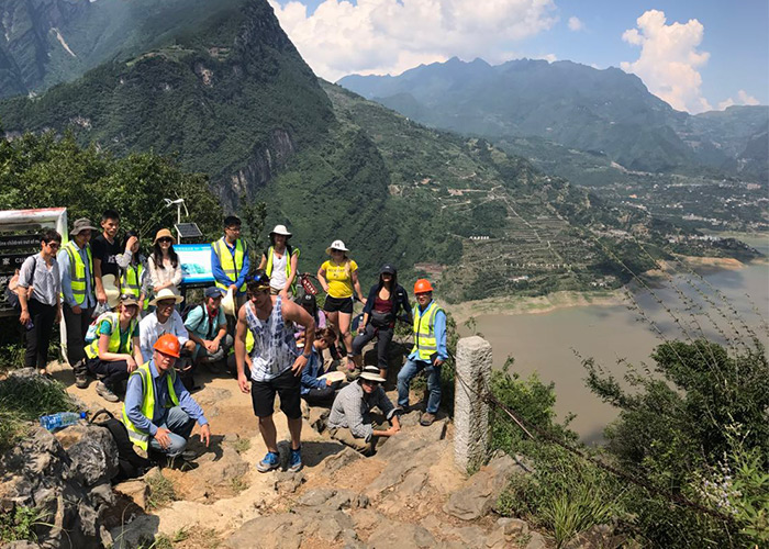 The team climbed to the top of the Lianziya Landslide area. A permanent GPS monitoring
station is mounted on top of the Lianziya Landslide. The Xintan Landslide area is
located across the river on the right.Dr. Zhou gave an onsite lecture at the Xintan Landslide and the Lianziya (Chain Cliff)
Landslide. The Xintan Landslide event occurred on June 12, 1985, destroying the village
of Xintan in the process. Fortunately, the landslide had been successfully forecasted,
and the town was evacuated about 10 hours before the catastrophic sliding.
The team climbed to the top of the Lianziya Landslide area. A permanent GPS monitoring
station is mounted on top of the Lianziya Landslide. The Xintan Landslide area is
located across the river on the right.Dr. Zhou gave an onsite lecture at the Xintan Landslide and the Lianziya (Chain Cliff)
Landslide. The Xintan Landslide event occurred on June 12, 1985, destroying the village
of Xintan in the process. Fortunately, the landslide had been successfully forecasted,
and the town was evacuated about 10 hours before the catastrophic sliding.
The Xintan Landslide is a well-known example of a successful landslide forecast. Undoubtedly, without the evacuation, there would have been a substantial loss of life. The local government agents and research institutes continue to monitor the Xintan Landslide.
The group finished their field day with a strenuous hike to view the Lianziya Dangerous Rock-Body.
The group will move on to a week of field investigation at the Huangtupo Landslide site in the Badong County.